Abortion Trigger Bans
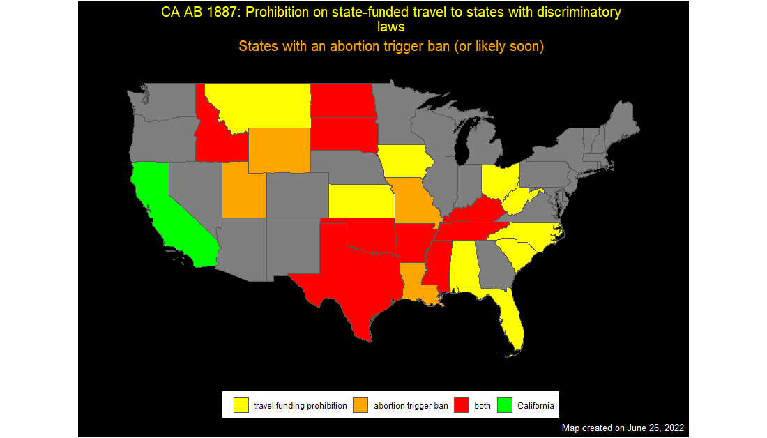
A colleague asked me about making an overlay map, and we discussed staring with the following information: US states where conference funding may be inhibited by AB 1887 US states where trigger bans took (or are in process) effect when Roe v Wade was overturned # load shape files states_shp <- st_read("cb_2018_us_state_5m/cb_2018_us_state_5m.shp") ## Reading layer `cb_2018_us_state_5m' from data source ## `C:\Users\freex\Documents\GitHub\blogdown\content\blog\2022-06-26-abortion-trigger-bans\cb_2018_us_state_5m\cb_2018_us_state_5m.shp' ## using driver `ESRI Shapefile' ## Simple feature collection with 56 features and 9 fields ## Geometry type: MULTIPOLYGON ## Dimension: XY ## Bounding box: xmin: -179.


